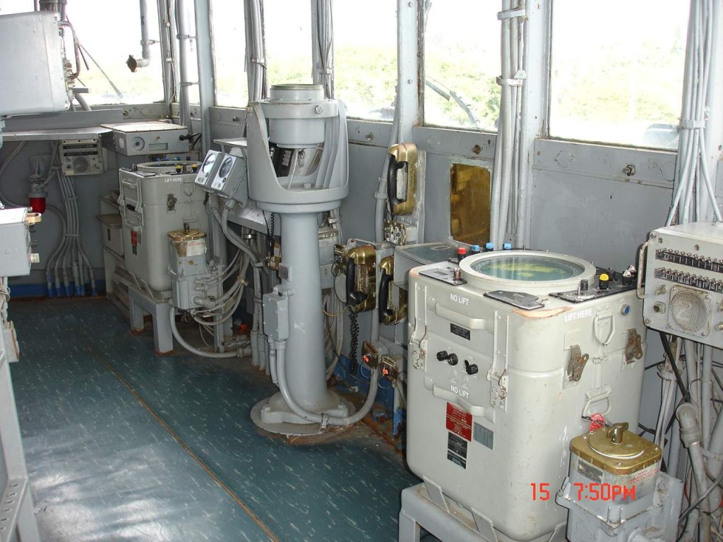
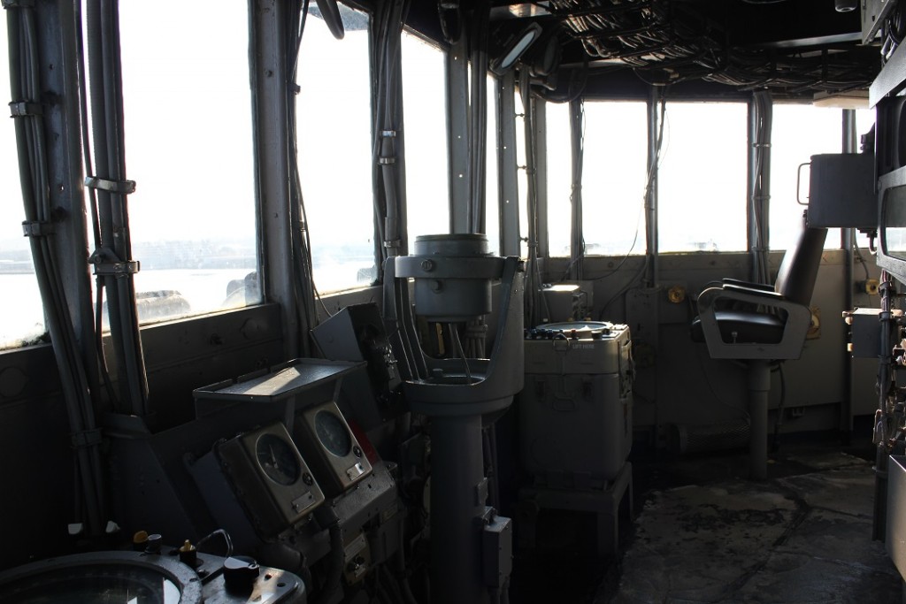
Navigation Bridge
Warning: Invalid argument supplied for foreach() in /var/www/html/tour/wp-content/themes/ussmo/page-hot-spot.php on line 63
The Navigation Bridge is the steering and control center of the ship during underway conditions and the command station for the Commanding Officer (CO) or Officer of the Deck (OOD).
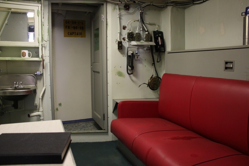
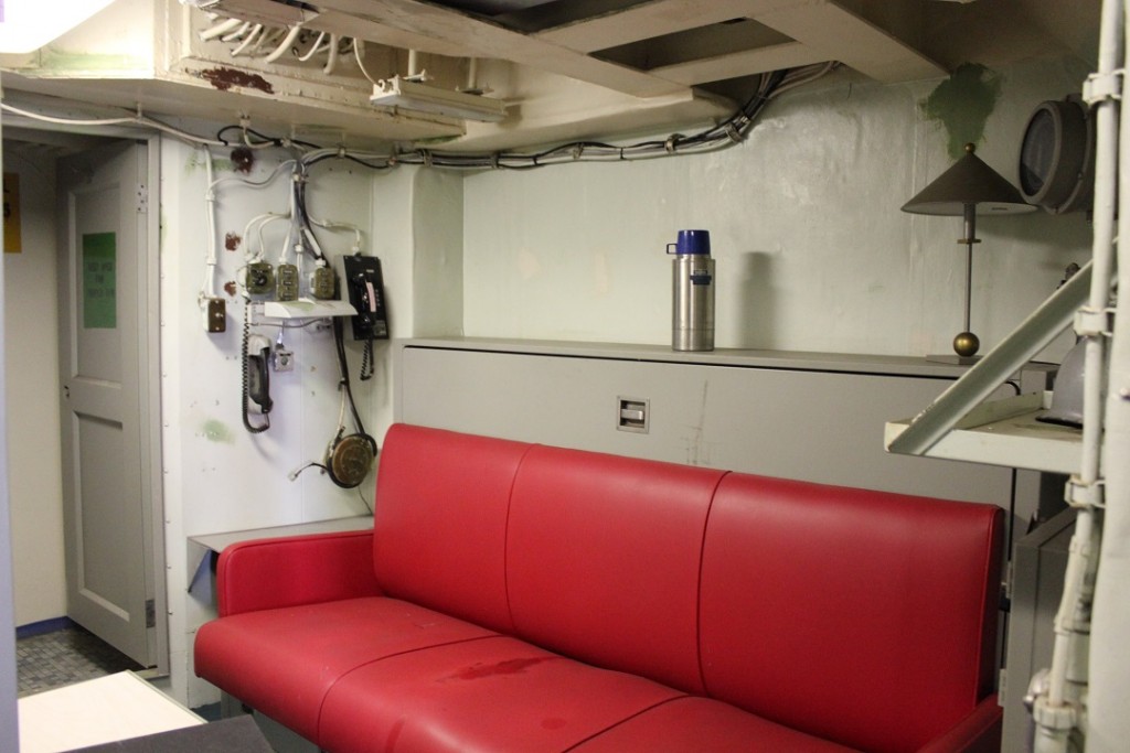
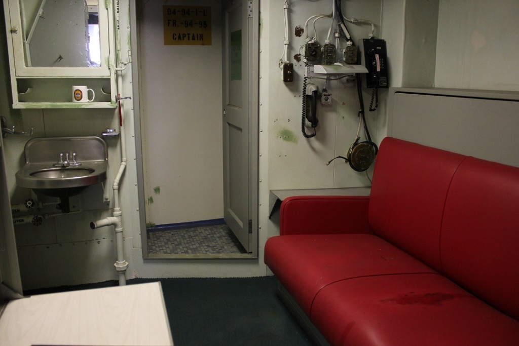
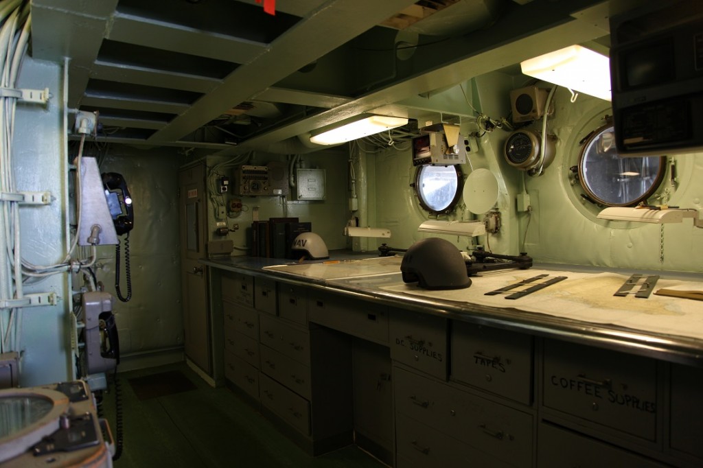
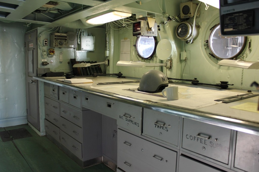
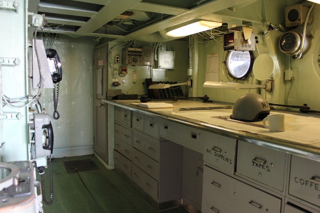
The Navigation Bridge contains the Pilot House, Command or Conning Station, Chart House, Meteorological (weather) Facility, and the Captain’s At-Sea cabin.
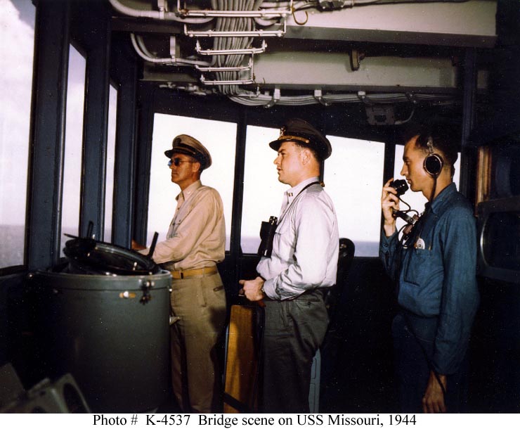
The windowed Pilot House at the forward end of the Navigation Bridge is the ship’s normal Conning Station where the CO or OOD were stationed while underway.
The central armored Conning Station, commonly called the “Citadel” because of its 17” thick steel armor, is the helmsman’s station. Under combat conditions the Citadel becomes the ship’s Conning Station where the CO and all other personnel gather. The Citadel is multi-level and includes the Fire Control Station (Spot 5) on the 05 Level above, with a vertical escape shaft called the “Conning Tower Tube” that extends all the way down to the Third Deck.
The Navigation Bridge contains the Pilot House, Command or Conning Station, Chart House, Meteorological (weather) Facility, and the Captain’s At-Sea cabin.
The windowed Pilot House at the forward end of the Navigation Bridge is the ship’s normal Conning Station where the CO or OOD were stationed while underway.
The central armored Conning Station, commonly called the “Citadel” because of its 17” thick steel armor, is the helmsman’s station. Under combat conditions the Citadel becomes the ship’s Conning Station where the CO and all other personnel gather. The Citadel is multi-level and includes the Fire Control Station (Spot 5) on the 05 Level above, with a vertical escape shaft called the “Conning Tower Tube” that extends all the way down to the Third Deck.